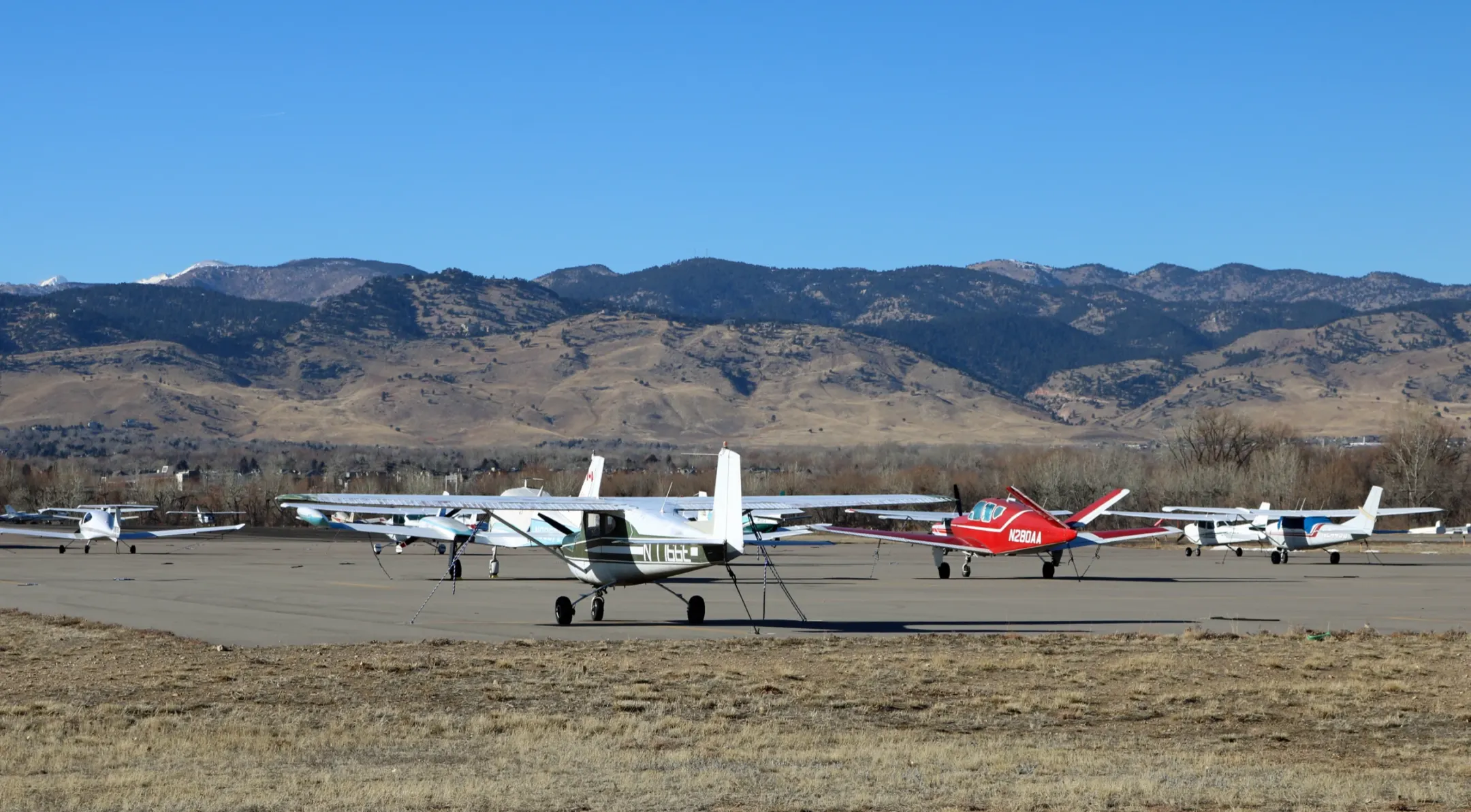
A working general aviation airfield about three miles northeast of downtown Boulder: one 4,100-foot paved east-west runway, a parallel glider strip, T-hangars built between 1963 and 1994 and a ramp of tied-down light aircraft. The foothills fill the western horizon, with the Flatirons to the southwest. With no control tower or airline service, it reads as a small local airfield.
It is busy: the City counts about 60,000 takeoffs and landings a year, and 40 of its 171 aircraft are gliders. Expect aircraft noise and plan around flight operations.
The airport began in 1928 as a dirt strip called Hayden Field. The City of Boulder bought 36 acres in 1943, renamed it Boulder Municipal Airport and owns and operates it today.
Filming at a city-owned facility needs the City film permit; apply at least 14 days ahead. City code also requires a city manager’s permit for any activity at the airport outside a lease, so contact airport management first (bma@bouldercolorado.gov, 303-441-3108). The public may watch from the Heather McRoberts Memorial Micropark but may not enter the ramp or approach the runway, and hangars are limited to aviation use.